
Colorado River: Who Gets the Water After 2026?
In August 2026, with Lake Powell and Lake Mead holding less water, combined, than at any point since Powell began filling in 1963, the US Department of the Interior finalized a new ten-year framework for the Colorado River - because the seven states that share it could not agree one themselves.
This video explains the machinery underneath that decision. The 1922 Colorado River Compact split the river 7.5 million acre-feet a year to each basin, based on flow measurements taken during an unusually wet run of years; the river has not carried that much since. Three more agreements - the 1944 Mexico treaty, the 1948 Upper Basin Compact, and the 1964 Supreme Court ruling in Arizona v. California - stacked further rules on top, together known as the Law of the River. Hoover Dam and Glen Canyon Dam turn an uneven river into a bankable supply, and a sequence of shortage rules in 2007, 2019 and 2023 bought time without closing the underlying gap.
Then the elevations that decide whether that machinery still works: 3,490 feet, where Glen Canyon Dam's turbines stop generating power, and 3,510 feet, the floor the new guidelines commit to holding above it. Then the decision itself: signed 21 August 2026, a 1.25 million acre-foot annual cut on the Lower Basin states - Arizona 760,000 acre-feet, California 440,000, Nevada 50,000 - and the lawsuit Nevada filed three days later, arguing the process broke federal law.
Every figure is on screen with its source and date. The closing chapter weighs the case that this is the river's use finally being matched to its real supply against the case that it is simply being rationed harder - the video's own labelled, editorial judgement, on a question its own sources do not settle.
In these topics
Chapters
Video notes
1. A river that runs out
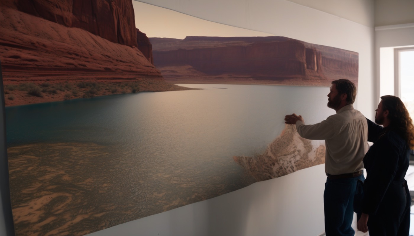
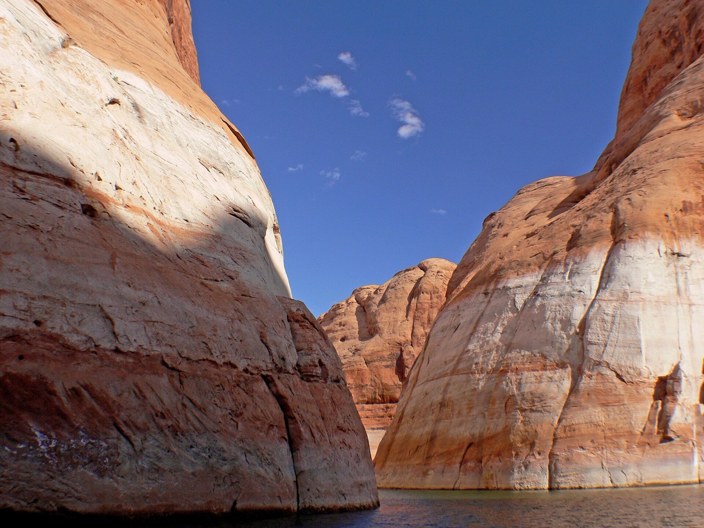
Every summer, the Colorado River is asked to do something the water flowing through it can no longer reliably support.
This is Lake Powell, photographed at low water. The river behind it, and its sister reservoir downstream, supply water to about forty million people, across seven US states, part of Mexico, and dozens of tribal nations.
"Forty million people, millions of acres of farmland and ranchland, industries that power the American West, and some of our nation's fastest growing metropolitan areas depend on the Colorado River." Interior Secretary Doug Burgum said that in August 2026. That same month, Lake Powell and Lake Mead held less water, combined, than at any point since Powell began filling.
This video explains how that system of rivers, reservoirs and rules actually works, and why the rules written a century ago no longer fit the river they were written for. It then explains a new ten-year plan: one the federal government ordered, because the states could not agree it themselves.
2. The map of the basin
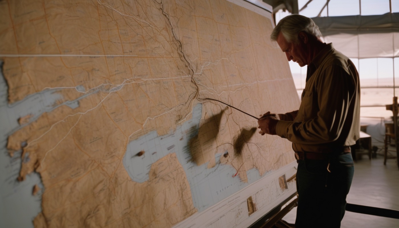
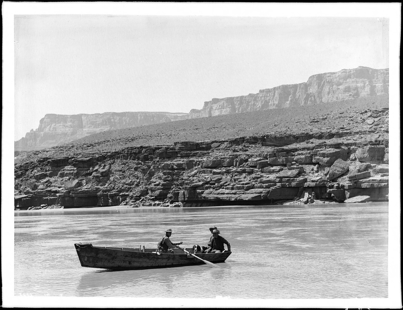
This is a rowboat crossing the river at Lee's Ferry, Arizona, photographed in the early 1900s. Lee's Ferry is the fixed point on the map where the river is legally split in two.
Everything upstream of that point is called the Upper Basin: Colorado, Utah, Wyoming and New Mexico. Everything downstream is the Lower Basin: Arizona, California and Nevada. Mexico holds its own share by treaty, and thirty federally recognized tribal nations hold rights to the river as well.
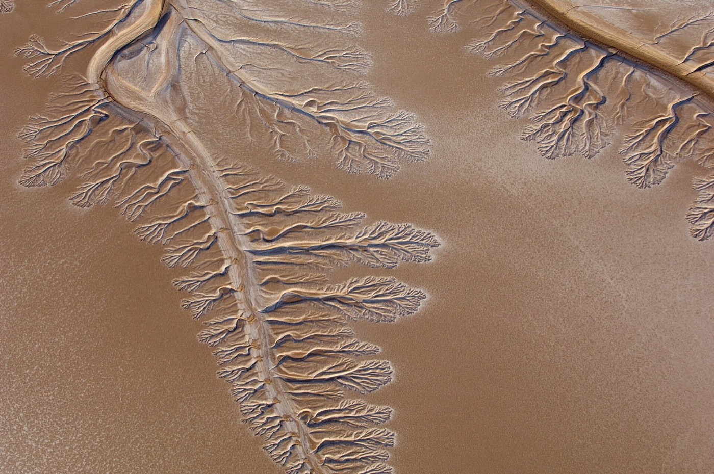
The river's delta, in Mexico, is where it once reached the Gulf of California. It now runs dry most years, because nearly all the river's water is used before it ever gets there.
From its source high in the Rocky Mountains to that dry delta, the river runs about fourteen hundred miles. Every mile of it is now spoken for on paper, even in years when the actual water is not.
3. 1922: the compact built on a wet guess

The document that first divided all of it is called the Colorado River Compact, signed in 1922. A compact, a word this video uses often, is simply a binding agreement between states that carries the force of law.
The Compact split the river seven and a half million acre-feet a year to each basin. An acre-foot is the amount of water it takes to cover one acre of ground a foot deep, enough for roughly one or two households for a year. Negotiators assumed the river carried about sixteen million acre-feet a year, based mostly on measurements from an unusually wet run of years just before 1922.
It has not carried that much since. The long-run average is closer to fourteen and a half million acre-feet, and this century it has averaged nearer twelve and a half.
Engineers soon turned the Compact's numbers into concrete and steel, starting with Hoover Dam.
The gap between the water the Compact assumed and the water the river actually carries is the problem every rule described in this video exists to manage.
4. Law of the River

The original Compact was only the first layer. Three more major agreements were stacked on top of it before the system took the shape it has today.
In 1944, a treaty with Mexico guaranteed it one and a half million acre-feet a year. In 1948, the Upper Basin states signed their own compact, dividing their share among themselves by percentage rather than by a fixed number. In 1964, the Supreme Court's ruling in Arizona versus California set fixed entitlements for each Lower Basin state.
That 1964 ruling is also what allowed the Central Arizona Project, known as CAP, to be built: a canal system carrying river water more than three hundred miles to Phoenix and Tucson. CAP's claim on the river is junior to older rights, and junior claims are always the first cut when there is not enough water to go around.
Together, these agreements reach from the treaty with Mexico to the entitlements of Arizona and California, and on to the CAP deliveries reaching Phoenix. Collectively, plus the shortage rules covered next, they are known as the Law of the River.
5. Dams as a bank account
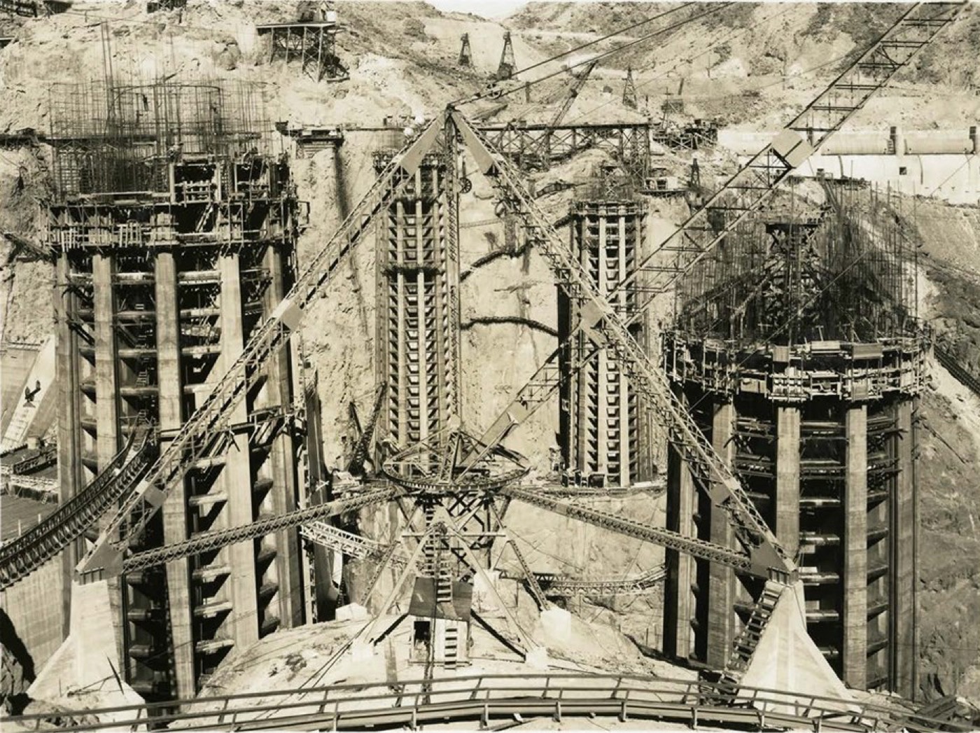
This is Hoover Dam under construction, on the Arizona-Nevada border, completed soon after. It holds back Lake Mead, the lower of the two reservoirs at the heart of this system.
Further upstream, on the Arizona-Utah border, Glen Canyon Dam holds back Lake Powell. The two reservoirs work like a shared bank account: mountain snowmelt fills Powell first, and releases from Powell then refill Mead, which supplies the Lower Basin states below it.
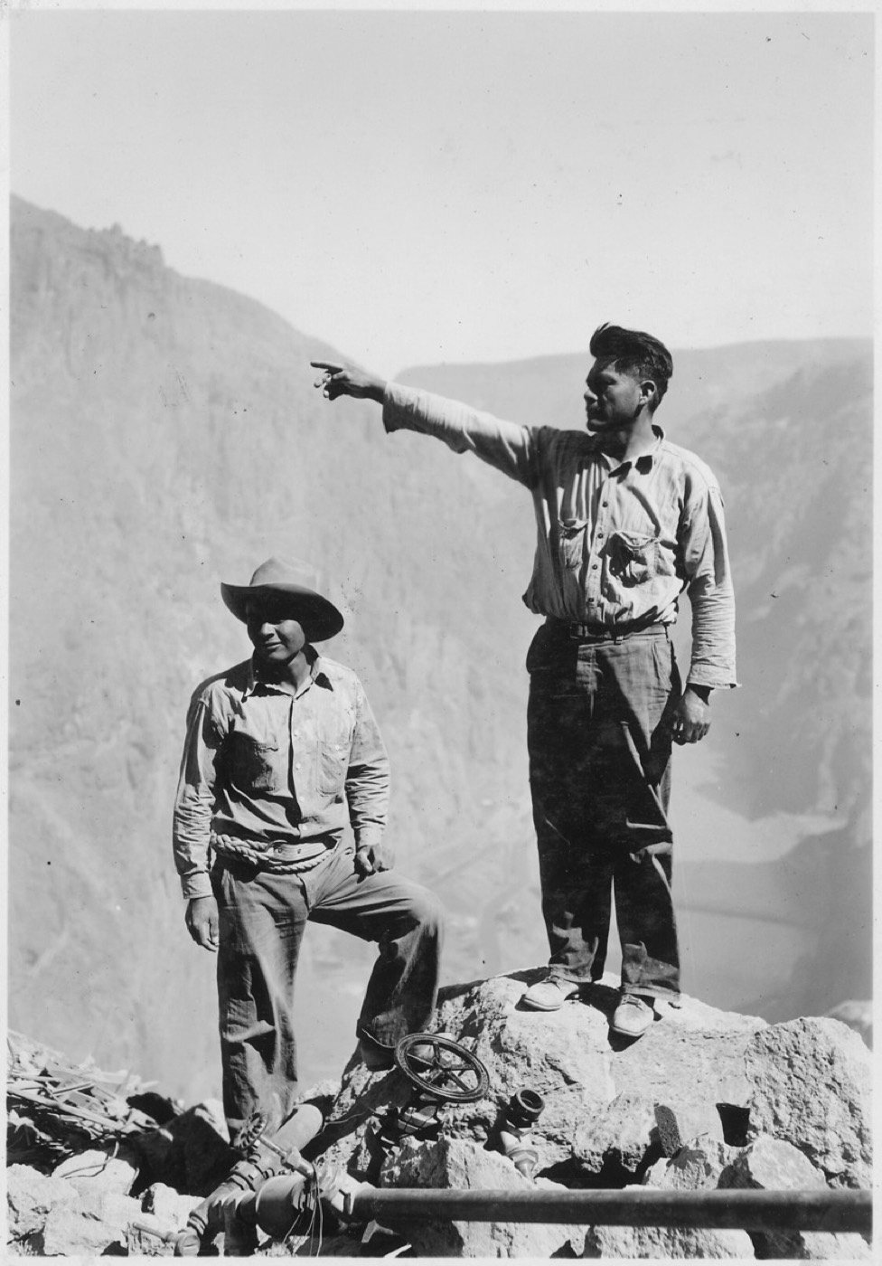
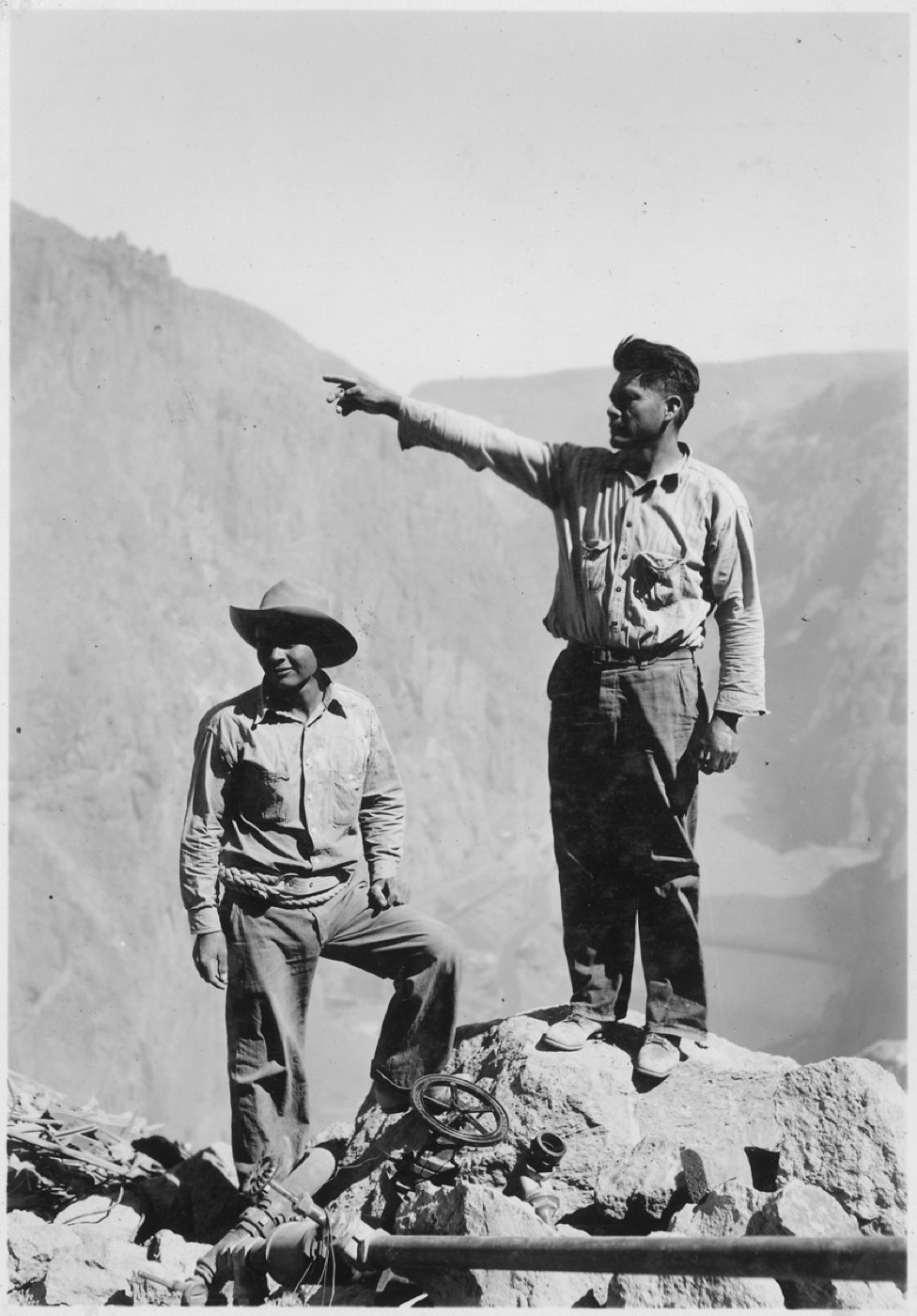
Apache work crews were among the high-scalers who built Hoover Dam, descending the canyon walls on ropes to drill and clear the rock face before the first concrete was poured.
Full, the two reservoirs can hold more than fifty million acre-feet of water between them. Powell holds about twenty-five million, Mead about twenty-nine million. Both dams also generate hydropower as they release water, which is part of why how much they hold, and at what elevation, matters well beyond simple storage.
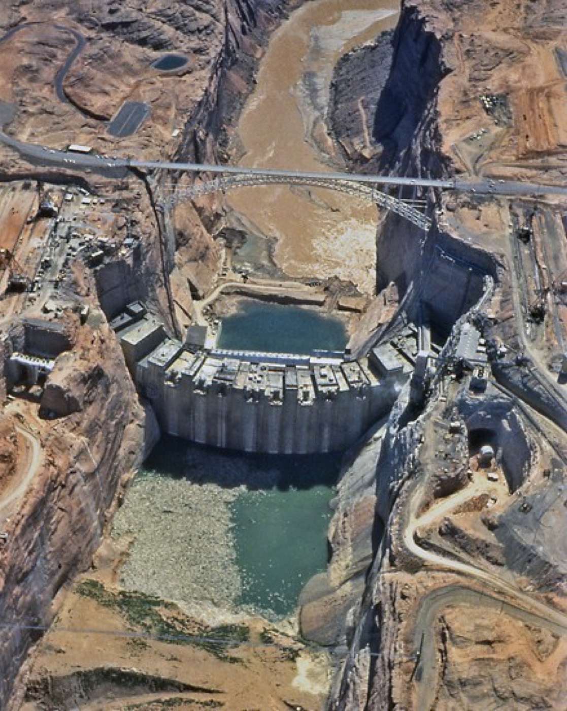
This is Glen Canyon Dam under construction in 1962, the year before its gates closed and Lake Powell began to fill.
Powell and Mead are not passive lakes. They are the machinery that turns an uneven river, wetter in some years than others, into a supply reliable enough to plan a city or a farm around.
6. Shortage rules: 2007 to 2026

As the gap between the Compact's numbers and the real river grew harder to ignore, the federal government stepped in. It added shortage rules, set out in new documents, on top of the original agreements, roughly once a decade.
In 2007, Interior adopted the first formal guidelines for sharing shortages on Lake Mead. In 2019, a Drought Contingency Plan added deeper, earlier cuts as levels kept falling. In 2023, the Lower Basin states agreed to conserve roughly three million acre-feet. The deal was largely paid for with federal funds, meant to last through 2026, and avoided a cut imposed on them directly.
All three of those arrangements were due to expire at the end of 2026, which is exactly why a new, larger framework had to be settled this year.
Each round of rules bought time. None of them closed the underlying gap between what the Compact promised and what the river actually delivers.
7. Why 3,490 and 3,510 feet matter

Two numbers, both measured in feet of elevation at Lake Powell, decide how much of this machinery still works.
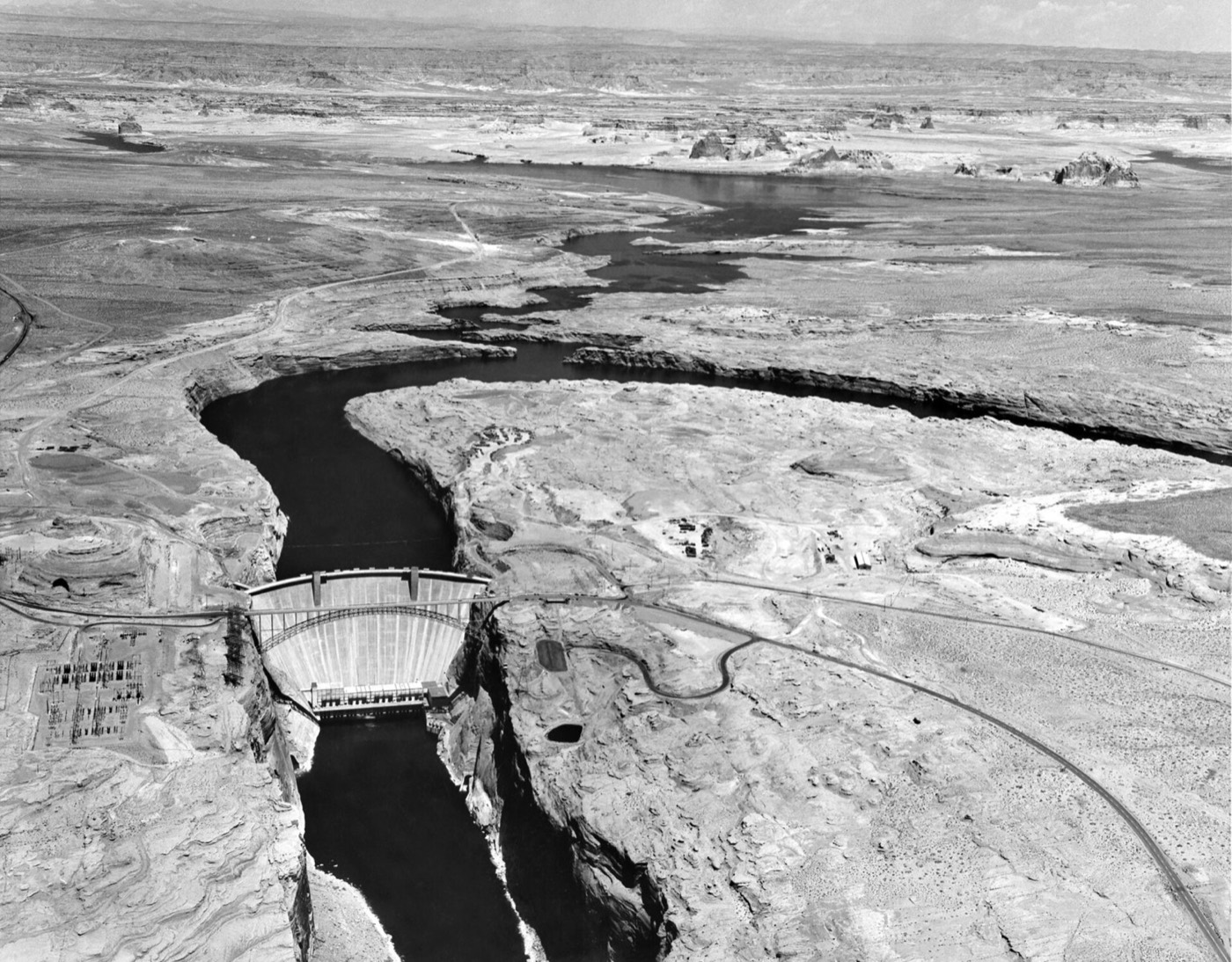
This is Glen Canyon Dam, seen from the air in 1965. Everything the guidelines discussed here protect happens inside the reservoir behind it.
At full pool, Powell sits at 3,700 feet. At 3,490 feet, it reaches what engineers call minimum power pool: the point where Glen Canyon Dam's turbines can no longer generate electricity, because the water has dropped below their intakes.
Below minimum power pool, releases can still pass through outlet works lower down the dam, but only until the lake falls to about 3,370 feet. That point is called dead pool, where water can no longer leave the dam at all.
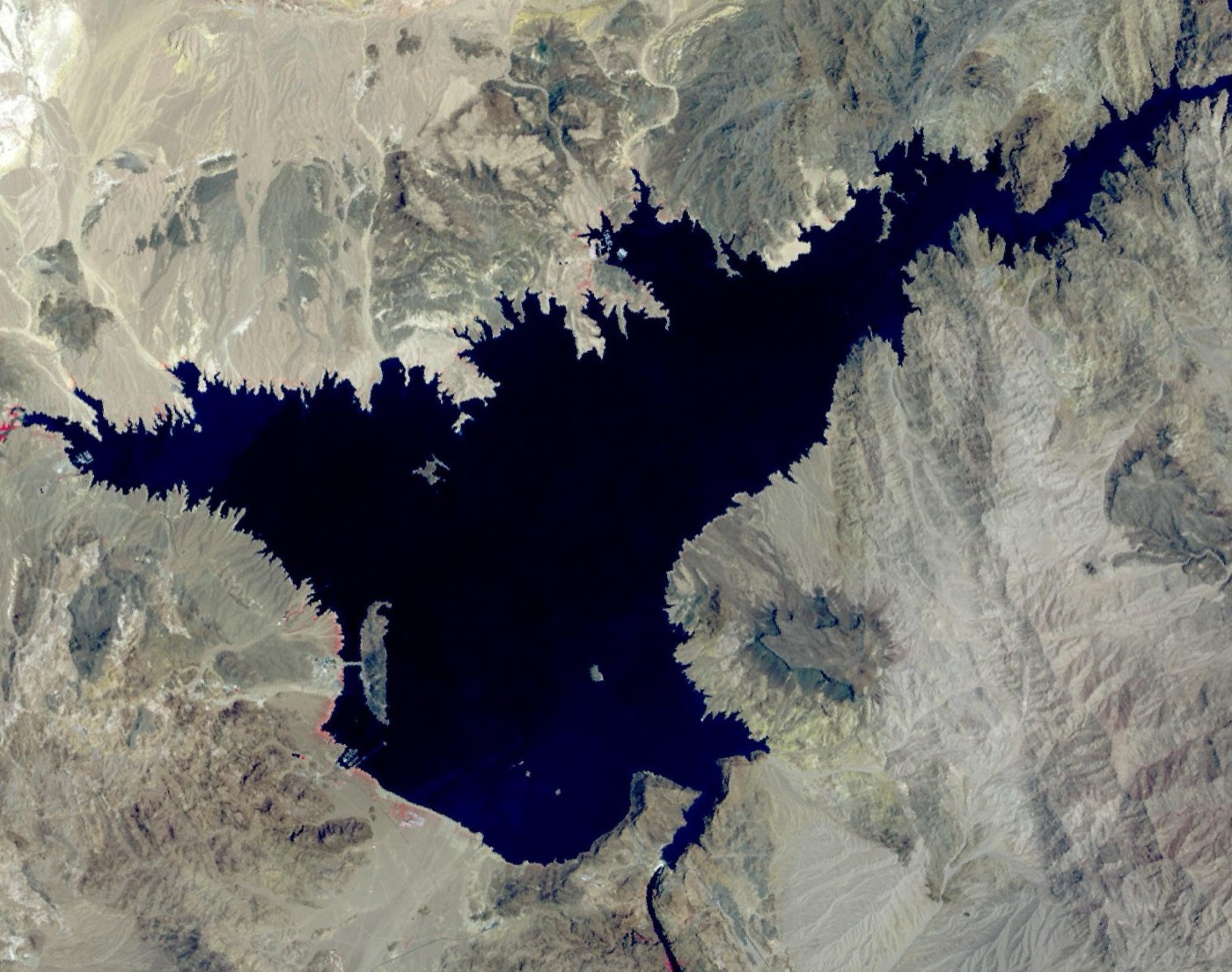
This satellite image shows Lake Mead's shoreline retreating as drought deepened. The new operating guidelines commit to holding Powell at or above 3,510 feet, specifically to protect the outlet works and keep them reliable.
So 3,510 feet is not an arbitrary target. It is the federal government's own safety margin above the point where the dam stops being able to do its job at all.
8. States fail to agree

For roughly two years, the seven basin states tried to agree a joint alternative for what would come after 2026. The Upper Basin argued its own use is already limited by nature and snowpack, so it should not have to cut further. The Lower Basin wanted cuts shared more evenly across all seven states.
Neither side moved far enough to close that gap. So Interior finished its own Environmental Impact Statement, or EIS, the government's formal study of a decision's effects, and issued a Record of Decision on its own authority instead.
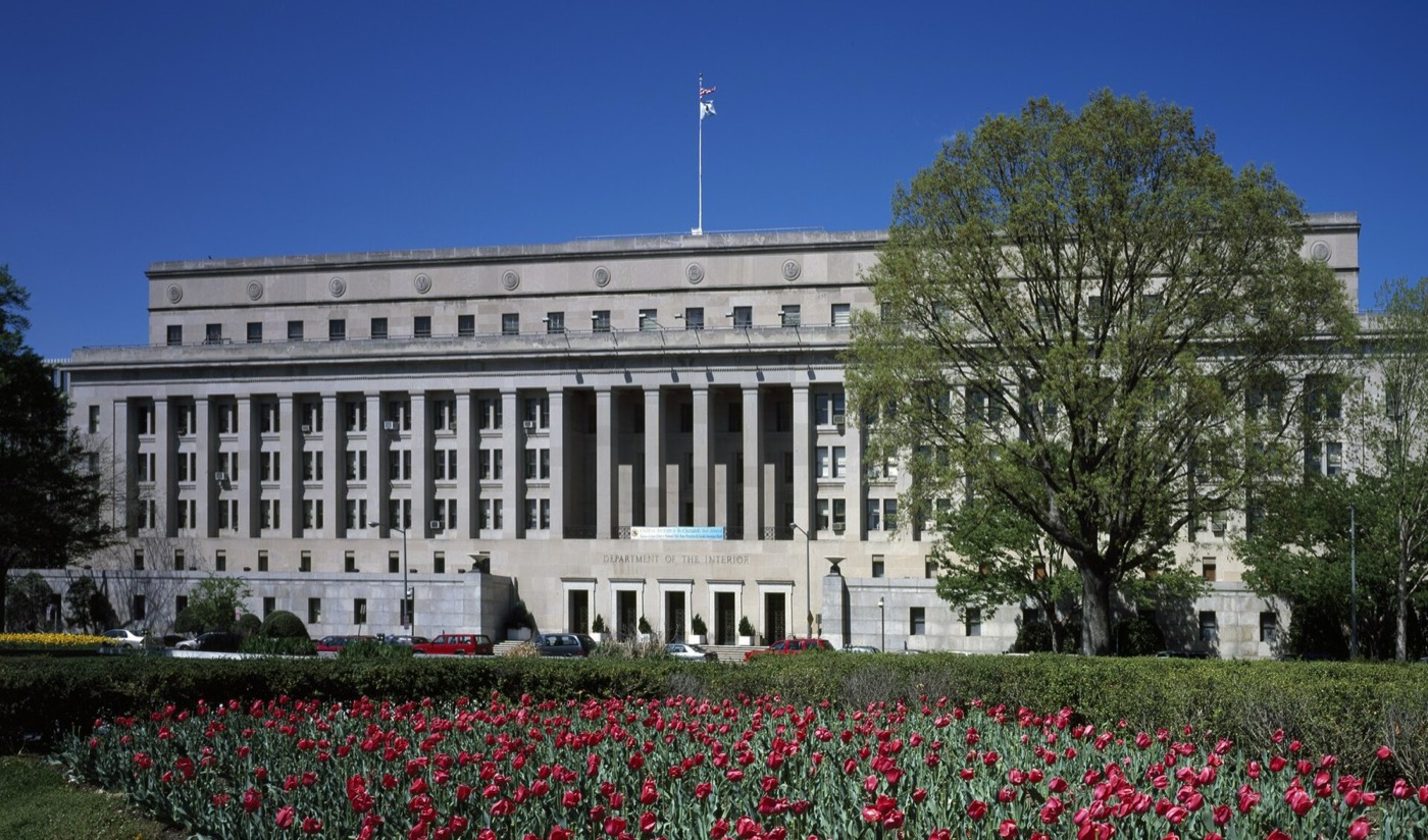
This is the Department of the Interior's headquarters in Washington, DC, where that decision was ultimately signed.
A Record of Decision is simply the document that makes a federal agency's final choice official and enforceable. When the states could not produce one together, the federal government produced one for them.
9. The 2027-2036 framework
On 21 August 2026, Secretary Burgum signed the Record of Decision. That set a ten-year framework running from 2027 to 2036. Detailed operating guidelines covered the years immediately ahead. The guidelines cap Lower Basin use at 6.25 million acre-feet a year — a cut of 1.25 million acre-feet. That cap replaces the higher limit the Supreme Court set in 1964.
On top of that mandatory cut, the guidelines ask the Lower Basin to voluntarily save at least 700,000 acre-feet more over the two years. They also set Lake Powell's 2027 release at six to seven million acre-feet, to be recalculated every April as conditions change.
Unlike the rules it replaces, this framework was not something the states negotiated and brought to Washington. It is something Washington decided and handed to the states.
10. Who loses what
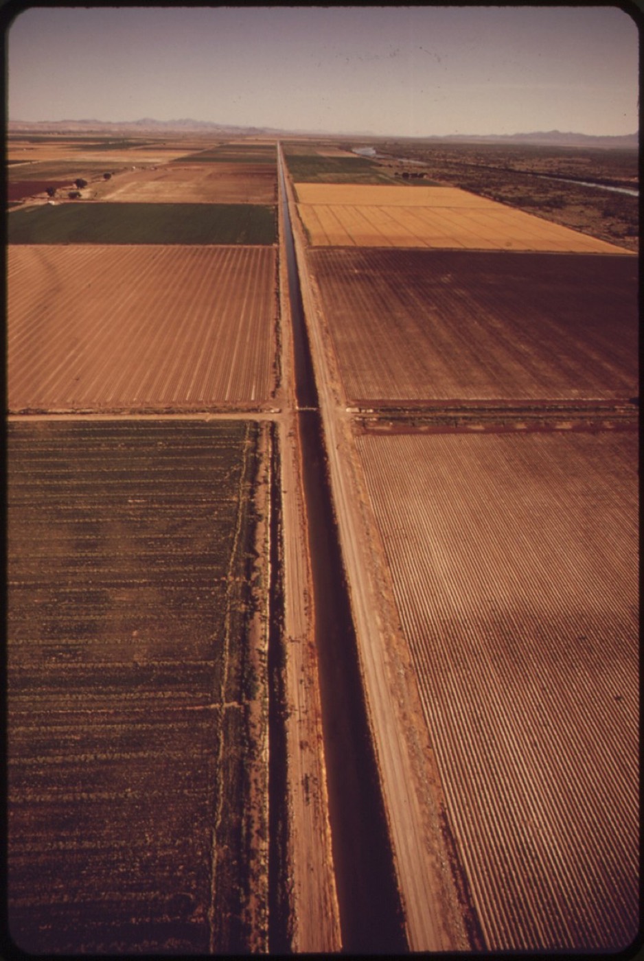
Of that 1.25 million acre-foot cut, Arizona takes the largest share, 760,000 acre-feet. California takes 440,000, and Nevada takes 50,000. That split falls unevenly: Arizona's own entitlement drops by about a quarter, Nevada's by about a sixth, and California's by roughly a tenth.
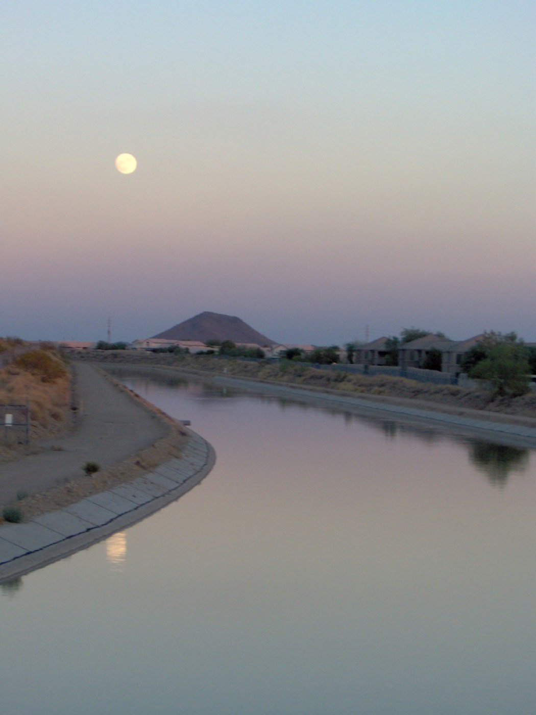
This is the Central Arizona Project's canal, the same CAP system described earlier, carrying river water to Phoenix and Tucson. Because CAP's claim is junior, it absorbs most of Arizona's share of the cut before older, senior rights are touched at all.
So the same 1.25 million acre-foot cut lands very differently across Arizona, California and Nevada, depending on how old each state's claim to the water happens to be. Arizona's CAP deliveries reach Phoenix; California's reach the Imperial Valley near the Mexican border.
Arizona's water director, Tom Buschatzke, put his state's reaction plainly: "While the framework for years 3-10 continues to be of concern, we applaud the Department of the Interior for clarifying the decision-making process."
This is the All-American Canal, which carries river water into California's Imperial Valley. California's cut is smaller in percentage terms, because its irrigation districts there hold some of the oldest, most senior rights on the entire river.
11. Lawsuits and the next fight

Nevada did not accept the new framework quietly. On 24 August 2026, three days after the Record of Decision, lawyers for Nevada, its Colorado River Commission and the Southern Nevada Water Authority filed suit at the federal courthouse in Nevada's own district.
Behind that filing stands Las Vegas, the state's fastest-growing city, whose towers and suburbs depend most directly on the outcome. Nevada argues the government broke three laws making this decision: the Administrative Procedure Act, the National Environmental Policy Act, and the Law of the River covered earlier, and it wants the guidelines blocked until those claims are resolved.
One part of Nevada's complaint is worth separating from the 50,000 acre-foot cut already described. It warns that Nevada's allocation could eventually be cut by more than seventy per cent in the framework's later years — a possible future figure, not the cut already in effect. Notably, the Upper Basin states are not required to cut any water at all under this framework, which is a large part of what Nevada and the Lower Basin are still fighting over.
12. Rebuilt or just rationed?
There is a case that this system is finally being rebuilt to match reality. Use is being capped below the 1964 entitlements for the first time under binding federal rules, and Powell is being held above a real engineering safety line rather than an arbitrary one.
There is also a case that it is simply being rationed harder. The 1.25 million acre-foot cut is real. But the river has been running well below the Compact's original guess for years. This video's own judgement, not a settled fact, is that the 2026 framework narrows that gap without yet closing it.
Whether the next ten years finish that job, or simply manage the shortfall more carefully than the last hundred did, is the fight now playing out in a Nevada courtroom, and likely several more after it.
Sources and credits
Photo credits (Wikimedia Commons)
- Hoover Dam under construction, 1934 (intake towers): National Archives, Herbert Hoover Presidential Library and Museum, Public domain - https://commons.wikimedia.org/wiki/File%3AConstruction_Intake_Towers_Hoover_Dam_1934.jpg
- Apache high-scalers working on the construction of Hoover Dam: Unknown authorUnknown author or not provided, Public domain - https://commons.wikimedia.org/wiki/File%3A%22Apache_Indians_employed_as_high-scalers_on_the_construction_of_Hoover_Dam.%22_-_NARA_-_293746.jpg
- Glen Canyon Dam under construction, 1962: U.S. Bureau of Reclamation, Public domain - https://commons.wikimedia.org/wiki/File%3AGlen_Canyon_Dam_1962.jpg
- Glen Canyon Dam, aerial view, 1965 (US Bureau of Reclamation): US Bureau of Reclamation, Public domain - https://commons.wikimedia.org/wiki/File%3AAerial_view_of_the_Glen_Canyon_Dam%2C_1965%2C_US_Bureau_of_Reclamation.jpg
- Lake Powell at low water: Bernard Spragg. NZ from Christchurch, New Zealand, CC0 - https://commons.wikimedia.org/wiki/File%3ALake_Powell_Low_water._%289414342576%29.jpg
- Lake Mead and drought (ASTER satellite image): NASA/METI/AIST/Japan Space Systems, and U.S./Japan ASTER Science Team, Public domain - https://commons.wikimedia.org/wiki/File%3ALake_Mead_and_Drought_%28ASTER%29.jpg
- Central Arizona Project aqueduct: No machine-readable author provided. Dominic assumed (based on copyright claims)., Public domain - https://commons.wikimedia.org/wiki/File%3ACentral_Arizona_Project_Aqueduct.JPG
- All-American Canal carrying Colorado River water to the Imperial Valley: Charles O'Rear, Public domain - https://commons.wikimedia.org/wiki/File%3ATHE_ALL-AMERICAN_CANAL%2C_CARRYING_WATER_FROM_THE_COLORADO_RIVER%2C_TRANSFORMED_THE_IMPERIAL_VALLEY_FROM_DESERT_TO_FARMLAND_-_NARA_-_548908.jpg
- Rowboat crossing the Colorado River at Lee's Ferry, Grand Canyon, 1900-1923: James, George Wharton, 1858-1923, Public domain - https://commons.wikimedia.org/wiki/File%3AThree_men_and_a_dog_in_a_rowboat_crossing_the_upper_Colorado_River_at_Lee%27s_Ferry%2C_Grand_Canyon%2C_1900-1923_%28CHS-3889%29.jpg
- US Department of the Interior headquarters building, Washington, D.C.: Carol M. Highsmith, Public domain - https://commons.wikimedia.org/wiki/File%3ADepartment_of_Interior_headquarters_building%2C_Washington%2C_D.C_LCCN2011634641.tif


Primary sources
- Interior Department press release, 'Interior Department Finalizes Plans for 2027-2028 Colorado River Operations', 21 August 2026 - the Record of Decision date, the 1.25 maf/6.25 maf cap, the 760,000/440,000/50,000 af state cuts, the 3,510 ft floor, the 6.0-7.0 maf 2027 Powell release, and Secretary Burgum's and Assistant Secretary Travnicek's quoted statements.
- Western Water, 'The Decision: Colorado River gets 2-year plan amid record lows', 21 August 2026 - Powell/Mead combined storage lower than at any point since 1963, the record snowpack low, and the ten-year framework context.
- Bureau of Reclamation, Post-2026 Colorado River Operations page and Decision Documents page - the Record of Decision and Final EIS as primary documents.
- Nevada Governor's Office press release, 'Nevada Files Lawsuit Against Department of the Interior over Colorado River Operations Record of Decision' - the 24 August 2026 filing date and the plaintiffs named.
- azwaternews.com, Arizona Department of Water Resources statement on the Record of Decision, 21 August 2026 - Director Tom Buschatzke's quoted statement.
- Water Education Foundation, '1922-2007: 85 Years of the Colorado River Compact' - the 24 November 1922 signing at Bishop's Lodge, Santa Fe, and the 7.5 maf per basin split.
- Congress.gov CRS product, 'Colorado River Compact of 1922', and Eos.org, 'Fixing the Flawed Colorado River Compact' - the ~16.4 maf assumed flow versus the ~14.6 maf (1906-2024) and ~12.4 maf (since 2000) actual averages.
- Bureau of Reclamation, 'Law of the River' page - the 1944 Mexico treaty (1.5 maf/yr), the 1948 Upper Basin Compact, and the 1964 Arizona v. California decree.
Not regulated financial advice.